Govardhana to Kāmyavana parikramā
The pastime places that pilgrims on the Vraja-maṇḍala parikramā visit after the parikramā of Govardhana, in the order of the guidebook Śrī Vraja-maṇḍala Parikramā: from the town of Govardhana or Jatīpurā by Nīma-gaon, Gāṅṭholī and Ḍīg to Ādi-badrī and Kanovāro, on the way to Kāmyavana.[1]
On this page
Walking guide
17 of the 24 stops have a position in our own map data (not from Google). The guide leads you from one of these stops to the next and skips the others.
Your position stays on your phone; we do not store it.
About this route
| Order | As printed in the guidebook’s section “Pastime Places Visited After Parikramā of Govardhana” (22 places). Stops 1 and 2 are the two starting points the book names: pilgrims set out from the town of Govardhana or from Jatīpurā towards Nīma-gaon. The book takes the places in this order but does not call it a walking order, and a few of them lie back towards Rādhā-kuṇḍa (Navā-grāma, Sūrya-kuṇḍa, Kyoṅ Nāī), so the order has not been checked on the ground. After Ādi-badrī, the book says, pilgrims go on to Kāmyavana by different ways: straight via Seū-ghāṭī and Indraulī, via Guhānā, Khoha-gaon and Dhavala-parvata, or via Ālīpura and Paśapa-gaon. |
|---|
Map of the stops
The interactive map uses Google Maps. It loads only when you open it. Each pin carries the number of its stop.
17 of 24 stops shown; the others have no position yet.
- confirmed position
- position not yet confirmed (preview only)
The stations
The Google Maps links open Google’s own result for each place.
- 1
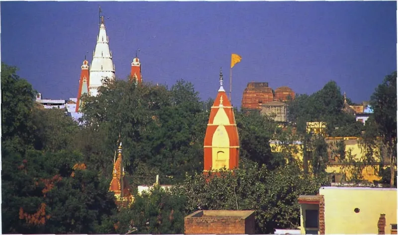
Govardhana (town)
On the walking guideGovardhana town lies at Govardhana Hill, around the lake Mānasī-gaṅgā, which the guidebook Govardhana Hill (2001) places in the middle of the town.
Source details
printed: “the town of Govardhana”
- 2
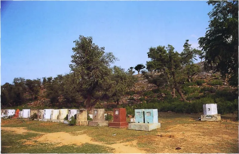
Jatīpurā
On the walking guideJatīpurā is a village on the west side of Govardhana Hill, across the hill from Aniyora; the Gopāla temple stands on the hilltop above it.
Source details
printed: “Jatīpurā”
- 3
Nīma-gaon
Nīma-gaon is a village on the road from Govardhana to Varṣāṇā, about two miles west of Govardhana town, according to the guidebook Śrī Vraja-maṇḍala Parikramā (2007).
Source details
printed: “Nīma-gaon”
- 4
Pāṭala-grāma
Pāṭala-grāma, now called Pāḍara, is a village two miles north of Nīma-gaon, according to the guidebook Śrī Vraja-maṇḍala Parikramā (2007).
Source details
printed: “Pāṭala-grāma”
- 5
Ḍerāvalī
Ḍerāvalī is a village that the Bhakti-ratnākara counts among the places near Rādhā-kuṇḍa.
Source details
printed: “Ḍerāvalī”
- 6
Navā-grāma
On the walking guideNavā-grāma, now called Kuñjerā, is a village that the Bhakti-ratnākara and the guidebook Śrī Vraja-maṇḍala Parikramā (2007) give as the place where the kuñjas, the groves, of Rādhā-kuṇḍa end.
Source details
printed: “Navā-grāma”
- 7
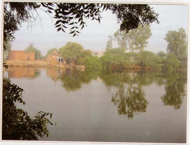
Sūrya-kuṇḍa (Choṭā Bharanā)
On the walking guideSūrya-kuṇḍa, the kuṇḍa of the Sun, lies about four miles north of Rādhā-kuṇḍa and is today also called Choṭā Bharanā; a temple of Sūryadeva, the sun-god, stands there.
Source details
printed: “Sūrya-kuṇḍa (Choṭā Bharanā)”
- 8
Kyoṅ Nāī
On the walking guideKyoṅ Nāī, now called Konāī, is a village about four miles north of Rādhā-kuṇḍa, according to the guidebook Śrī Vraja-maṇḍala Parikramā (2007).
Source details
printed: “Kyoṅ Nāī (Konāī)”
- 9
Bhadāvara
Bhadāvara (now Bhadāhara) is a village that one book (Śrī Vraja-maṇḍala Parikramā (2007)) gives as the home of Bhadrā, one of the eight leading gopīs, neutral (taṭastha) towards Rādhikā.
Source details
printed: “Bhadāvara”
- 10
Gāṅṭholī
On the walking guideGāṅṭholī is a village west of Govardhana Hill, on the road from Govardhana to Ḍīg.
Source details
printed: “Gāṅṭholī”
- 11
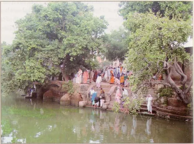
Gulāla-kuṇḍa
Gulāla-kuṇḍa is a pond near the village of Gāṅṭholī, west of Govardhana Hill, beside the road that comes from Jatīpurā.
Source details
printed: “Gulāla-kuṇḍa”
- 12
Beheja
On the walking guideBeheja is a village on the road from Govardhana to Ḍīg (Dīrghapura), about six miles from Govardhana, according to the guidebook Śrī Vraja-maṇḍala Parikramā (2007).
Source details
printed: “Beheja”
- 13
Devaśīrṣa-sthāna
On the walking guideDevaśīrṣa-sthāna is one of Kṛṣṇa's cow-herding places, on the parikramā route from Beheja.
Source details
printed: “Devaśīrṣa-sthāna”
- 14
Muniśīrṣa-sthāna
On the walking guideMuniśīrṣa-sthāna, now called Muḍaśerasa, lies west of Devaśīrṣa-sthāna on the parikramā route from Beheja, according to the guidebook Śrī Vraja-maṇḍala Parikramā (2007).
Source details
printed: “Muniśīrṣa-sthāna”
- 15
Sūryapatanavana
Sūryapatanavana, the forest of the Sun's fall, is a forest of Vraja that the guidebook Śrī Vraja-maṇḍala Parikramā (2007) places three miles from Beheja and calls Sāṅvarīkherā today.
Source details
printed: “Sūryapatanavana”
- 16
Dīrghapura
On the walking guideDīrghapura is the town of Ḍīg, two miles west of Beheja.
Source details
printed: “Dīrghapura (Ḍīg)”
- 17
Paramādanā
On the walking guideParamādanā is a village whose older name, the Bhakti-ratnākara says, is Pramodanā, because here Kṛṣṇa, in a playful mood, gave delight (pramoda) to the girls of Vraja.
Source details
printed: “Paramādanā”
- 18
Setu-kandarā
On the walking guideSetu-kandarā is a place of Vraja south of Ādi-badrī.
Source details
printed: “Setu-kandarā”
- 19
Ādi-badrī
Ādi-badrī, "the original Badarī", is a hill area on the western side of Vraja-maṇḍala, one and a half miles north of Setu-kandarā, with the village of Ālīpura at the foot of its hills.
Source details
printed: “Ādi-badrī”
- 20
Ālīpura (Ādi-badrī)
On the walking guideĀlīpura is the village at the foot of the hills of Ādi-badrī; the guidebook Śrī Vraja-maṇḍala Parikramā (2007) says that the hills rise from it.
Source details
printed: “Ālīpura”
- 21
Śāṅarā-śikhara
On the walking guideŚāṅarā-śikhara is a whitish hill next to the village of Khoha.
Source details
printed: “Śāṅarā-śikhara”
- 22
Indraulī
On the walking guideIndraulī, also written Indrolī, is a village about two miles south-east of Kāmyavana.
Source details
printed: “Indraulī”
- 23
Godṛṣṭivana
On the walking guideGodṛṣṭivana, "the forest of looking at the cows", is a place of Kṛṣṇa's cow-herding, now the village of Guhānā, one mile from Paramodarā.
Source details
printed: “Godṛṣṭivana”
- 24
References
- Śrī Vraja-maṇḍala Parikramā (2007), “Pastime Places Visited After Parikramā of Govardhana”, Govardhana chapter, pp. 245–258