Govardhana parikramā
The stations of the circuit of Govardhana Hill in the order of the guidebook Śrī Vraja-maṇḍala Parikramā, beginning at Śrī Rādhā-kuṇḍa.[1]
On this page
Walking guide
15 of the 43 stops have a position in our own map data (not from Google). The guide leads you from one of these stops to the next and skips the others.
Your position stays on your phone; we do not store it.
About this route
| Order | as printed in the guidebook (40 numbered stations; some numbers name two places) |
|---|
Govardhana parikramā chart
Map of the stops
The interactive map uses Google Maps. It loads only when you open it. Each pin carries the number of its stop.
25 of the 43 stops are on this map. 10 of these pins show a position from Google that we have not confirmed; the walking guide uses only the other 15.
- confirmed position
- position not yet confirmed (preview only)
- position from Google (not confirmed by us)
The stations
The Google Maps links open Google’s own result for each place.
Jump to a stop stops 1–43
On the walking guide
- 1
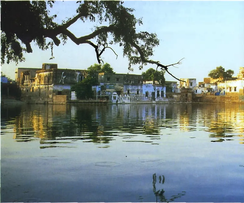
Rādhā-kuṇḍa
On the walking guideRādhā-kuṇḍa is ranked above every other holy place by Rūpa Gosvāmī (Upadeśāmṛta 9–11) and praised in the verse 'just as Rādhā is dear to Kṛṣṇa, so is her kuṇḍa', which the Gosvāmīs and the Caitanya-caritāmṛta quote from the Padma Purāṇa (the verse is not in the available Padma text).
Source details
printed: “Śrī Rādhā-kuṇḍa”
No. 1 on the original chart (map page)
- 2
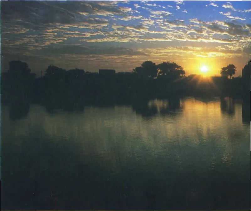
Śyāma-kuṇḍa (Rādhā-kuṇḍa)
On the walking guideKṛṣṇa's kuṇḍa beside Rādhā-kuṇḍa, called 'Ariṣṭa' in the Varāha Purāṇa, the Ariṣṭa-kuṇḍa in the Nārada Purāṇa and by Sanātana Gosvāmī and Kṛṣṇadāsa Kavirāja, Kṛṣṇa-kuṇḍa in the Garga-saṁhitā and Śyāma-kuṇḍa in the Bhakti-ratnākara.
Source details
printed: “Śrī Śyāma-kuṇḍa”
No. 2 on the original chart (map page)
- 3
Mukharāī
The village one mile south of Rādhā-kuṇḍa which the Bhakti-ratnākara calls the well-known dwelling place of the old Mukharā, Rādhikā's maternal grandmother, who secretly brings Rādhā and Kṛṣṇa together; Śrīnivāsa and Narottama were brought here by their guide.
Source details
printed: “Mukharāī”
- 4
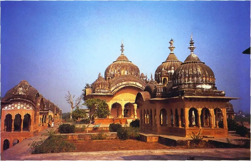
Kusuma-sarovara
On the walking guideKusuma-sarovara, the 'flower lake' near Rādhā-kuṇḍa, is named in scripture: the Padma Purāṇa puts an Aśoka creeper 'not far from Govardhana, on the bank of the lake called Kusuma'.
Source details
printed: “Kusuma-sarovara”
No. 5 on the original chart (map page)
Between 4 and 5 (in the order of the chart key): 6 Uddhava Mandira (Kusuma-sarovara) · 7 Aśoka Vana
- 5
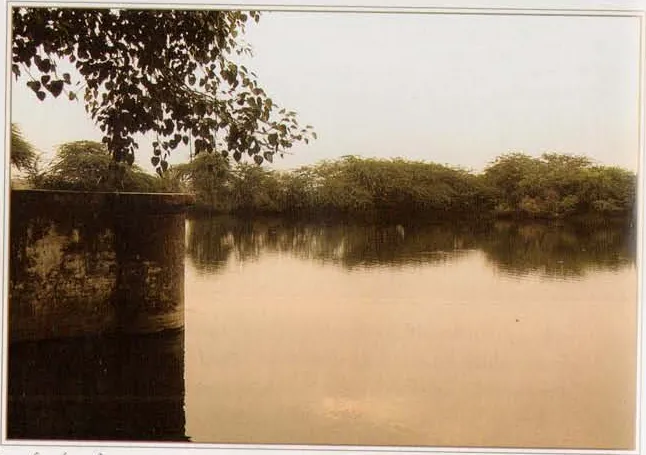
Nārada-kuṇḍa
Nārada-kuṇḍa lies about 400 m south-east of Kusuma-sarovara (Śrī Vraja-maṇḍala Parikramā (2007)).
Source details
printed: “Nārada-kuṇḍa”
No. 8 on the original chart (map page)
Between 5 and 6 (in the order of the chart key): 9 Ratna-kuṇḍa (Śyāma-kuṭī) · 10 Rāsa-sthali (Śyāma-kuṭī)
- 6
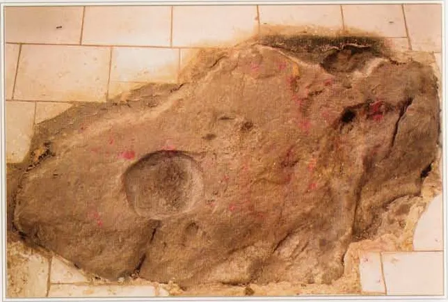
Ratna-siṁhāsana
Ratna-siṁhāsana is a site on the Govardhana parikramā path south of Kusuma-sarovara where, according to the Bhakti-ratnākara, Śrī Rādhikā sat on a jewelled throne and from where the episode of Śaṅkhacūḍa began.
Source details
printed: “Ratna-siṁhāsana”
No. 11 on the original chart (map page)
- 7
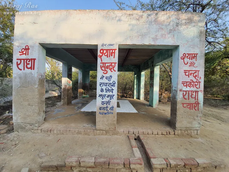
Śyāma-kuṭī
Śyāma-kuṭī is a place among thick trees near Ratna-siṁhāsana on the Govardhana parikramā path, where, according to Śrī Vraja-maṇḍala Parikramā (2007), Kṛṣṇa dressed wholly in dark (śyāma) colours so that even the gopīs did not recognise Him.
Source details
printed: “Śyāma-kuṭī”
- 8
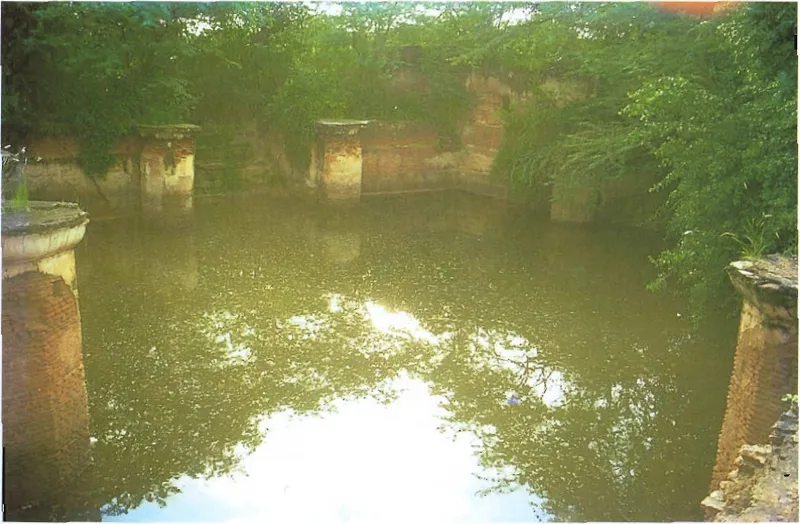
Gvāla-pokharā
A small pond on the Govardhana parikramā path near Śyāma-kuṭī.
Source details
printed: “Gvāla-pokharā”
No. 13 on the original chart (map page)
Between 8 and 9 (in the order of the chart key): 14 Sant Nivas · 15 Jugal-kuṇḍa
- 9
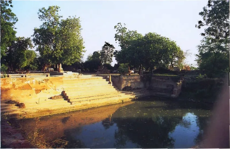
Killola-kuṇḍa
Killola-kuṇḍa (Kilola-kuṇḍa) is a small pond on the Govardhana parikramā near Gvāla-pokharā.
Source details
printed: “Killola-kuṇḍa”
No. 16 on the original chart (map page)
- 10
Pāleī
Pāleī is a village east of Nārada-kuṇḍa where, according to Śrī Vraja-maṇḍala Parikramā (2007), Kṛṣṇa herded the cows and met the sakhīs, the Yamunā once flowed, and the poet Kumbhana dāsa lived.
Source details
printed: “Pāleī”
- 11
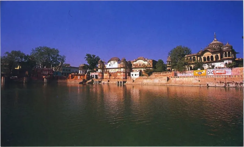
Mānasī-gaṅgā
On the walking guideMānasī-gaṅgā is the large lake at the heart of Govardhana town, on the hill.
Source details
printed: “Mānasī-gaṅgā”
No. 20 on the original chart (map page)
Between 11 and 12 (in the order of the chart key): 21 Brahma-kuṇḍa (Govardhana) · 22 Manasā-devī Mandira
- 12
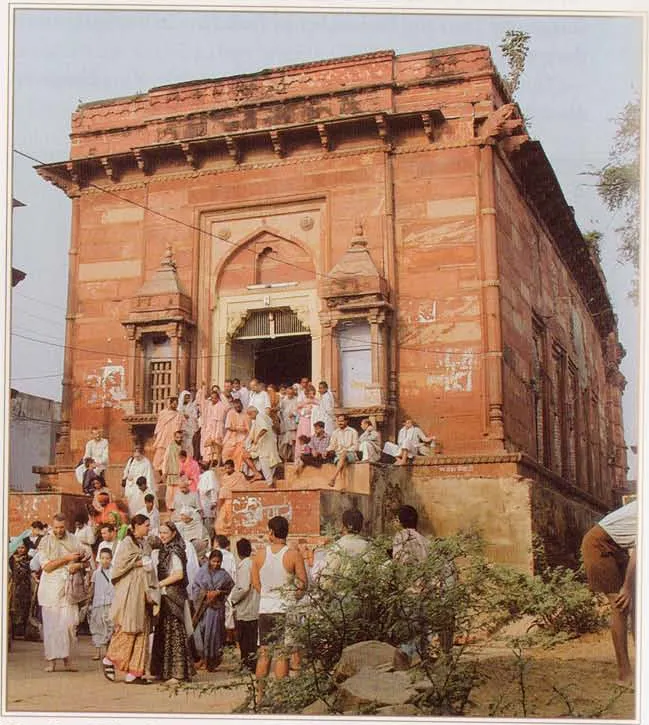
Harideva Mandira
On the walking guideHarideva, Kṛṣṇa as the lifter of Govardhana, is the Deity of Govardhana town, on the south bank of Mānasī-gaṅgā.
Source details
printed: “Śrī Harideva”
No. 23 on the original chart (map page)
- 13
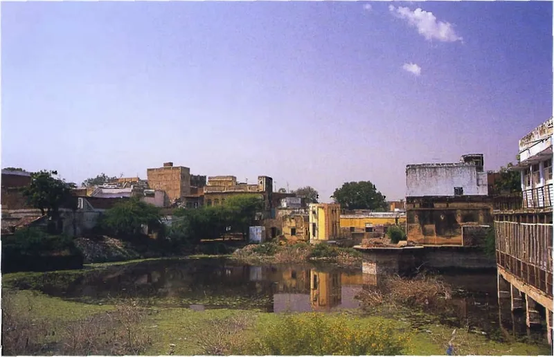
Brahma-kuṇḍa
Brahma-kuṇḍa lies on the south side of Mānasī-gaṅgā in Govardhana town, below the Manasā-devī temple.
Source details
printed: “Brahma-kuṇḍa”
No. 21 on the original chart (map page)
- 14
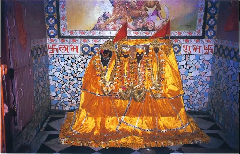
Manasā-devī Mandira
A goddess temple above Brahma-kuṇḍa on the south side of Mānasī-gaṅgā.
Source details
printed: “Manasā-devī”
No. 22 on the original chart (map page)
- 15
Go-ghāṭa
A ghāṭa in Govardhana where, according to a 2007 guidebook, Kṛṣṇa used to bring the cows and calves to drink water.
Source details
printed: “Go-ghāṭa”
- 16
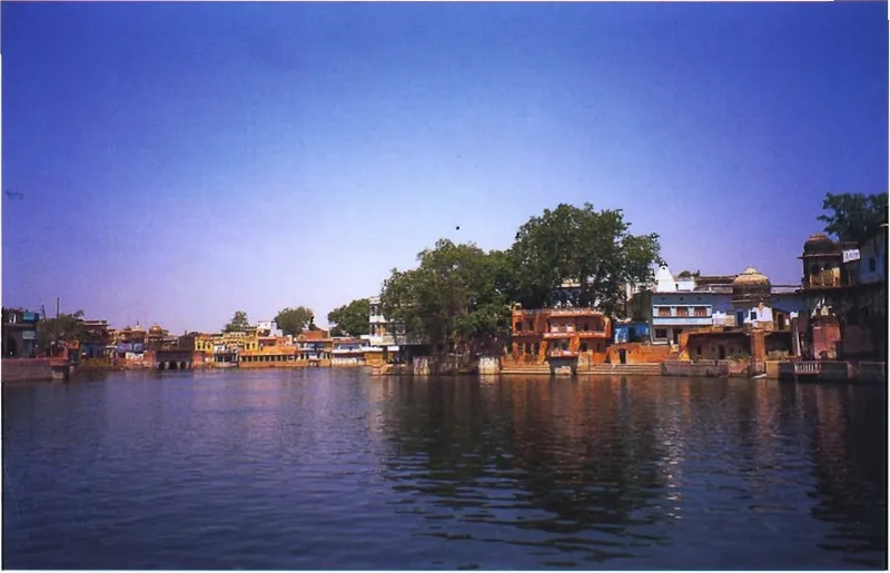
Cakra-tīrtha
Cakra-tīrtha is the north bank of Mānasī-gaṅgā in Govardhana town.
Source details
printed: “Cakra-tīrtha”
No. 19 on the original chart (map page)
- 17
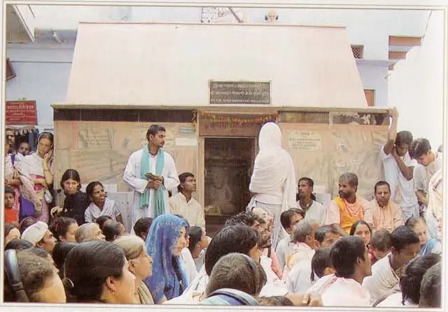
Sanātana Gosvāmī's bhajana-kuṭī
On the walking guideSanātana Gosvāmī's place of bhajana at Cakra-tīrtha, next to the Cakaleśvara temple.
Source details
printed: “Śrī Sanātana Gosvāmī’s bhajana-kuṭī”
- 18
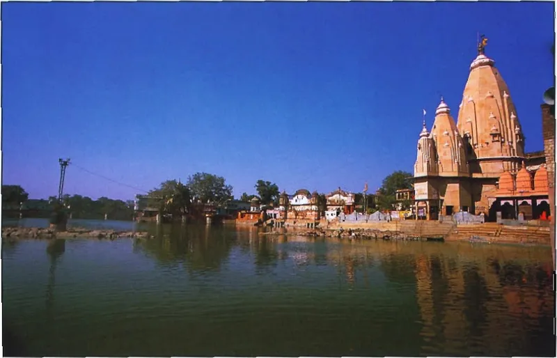
Mukhāravinda Mandira
The temple of Govardhana's 'lotus mouth' (Mukhāravinda) on Mānasī-gaṅgā, where a śilā receives milk abhiṣeka and offerings.
Source details
printed: “Mukhāravinda”
No. 18 on the original chart (map page)
- 19
Indradhvaja-vedī
The place east of Govardhana where, by Śrī Vraja-maṇḍala Parikramā (2007)'s account, Indra was worshipped until Kṛṣṇa changed the custom.
Source details
printed: “Indradhvaja-vedī”
- 20
Ṛṇa-mocana-kuṇḍa
The companion of Pāpa-mocana-kuṇḍa, also vanished.
Source details
printed: “Ṛṇa Mochana and Pāpa Mochana-kuṇḍa”
No. 25 on the original chart (map page)
- 21
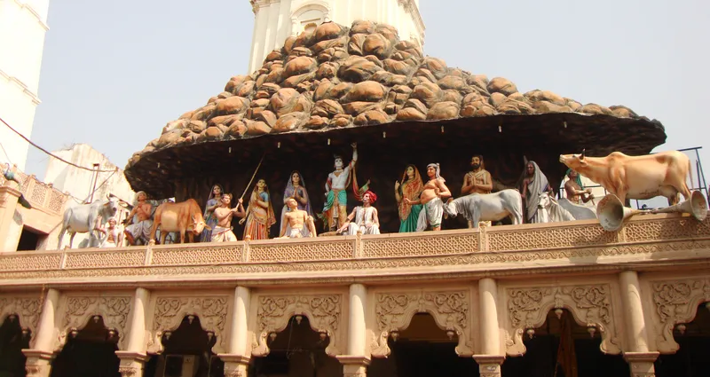
Dāna-ghāṭī
On the walking guideDāna-ghāṭī is the place on Govardhana Hill where, according to the Bhakti-ratnākara and the guides, Kṛṣṇa and His friends stopped the gopīs and demanded a toll of milk products.
Source details
printed: “Dāna-ghāṭī”
- 22
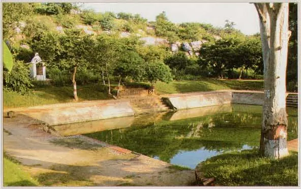
Dāna-nivartana-kuṇḍa
Dāna-nivartana-kuṇḍa (also spelled Dāna-nirvartana) lies some distance from Dāna-ghāṭī, where the Annakūṭa area of Govardhana begins.
Source details
printed: “Dāna-nivartana-kuṇḍa”
No. 32 on the original chart (map page)
Between 22 and 23 (in the order of the chart key): 33 Candra-sarovara
- 23
Pārāsaulī
Pārāsaulī is a village south-east of Govardhana town that the Bhakti-ratnākara and Śrī Vraja-maṇḍala Parikramā (2007) give as the place of Kṛṣṇa's spring rāsa.
Source details
printed: “Pārāsaulī”
No. 34 on the original chart (map page)
- 24
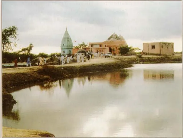
Paiṭhā-grāma
Paiṭhā (Paiṭha) is a village near Govardhana where, according to the Bhakti-ratnākara and the guidebooks, Kṛṣṇa, having left the spring rāsa, showed the searching gopīs a four-armed form but could not keep it before Rādhā; the village is named from the two arms 'entering' (paiṭhe) His body.
Source details
printed: “Paiṭhā-grāma”
- 25
Bacha-gaon
Bacha-gaon, also called Vatsavana or Bachavana, is a village that Śrī Vraja-maṇḍala Parikramā (2007) places three miles south of Paiṭha near Govardhana, where, it says, the cows from Govardhana ran to their older calves near the end of the year in which Kṛṣṇa had become the stolen boys and calves, and Kṛṣṇa revealed th …
Source details
printed: “Bacha-gaon”
- 26
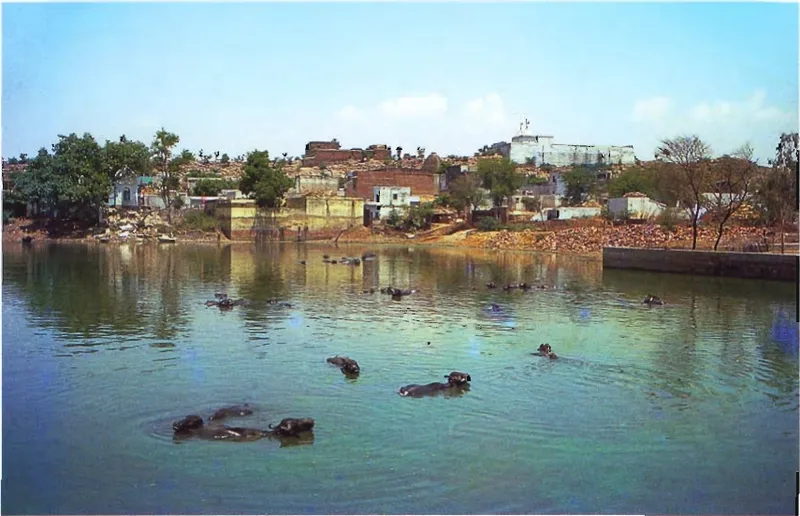
Aniyora
On the walking guideĀniyora (Aniyor) is a village on the Govardhana parikramā path that the Bhakti-ratnākara calls the place of the Annakūṭa, where Kṛṣṇa ate the offerings and called 'āniyora, āniyora'.
Source details
printed: “Ānyora-gaon”
No. 36 on the original chart (map page)
Between 26 and 27 (in the order of the chart key): 37 Gopāla Rāya Mandira · 38 Śiva Mandira (Govardhana chart key 38) · 39 Balarāma Mandira (Aniyora) · 40 Saṅkarṣaṇa-kuṇḍa (Aniyora)
- 27
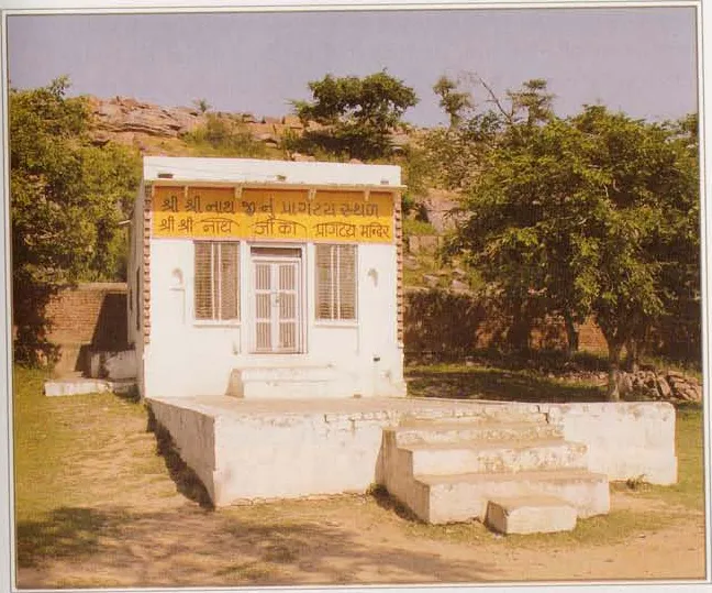
Gopāla Prakata Sthali
A small shrine on Govardhana marking where the Gopāla Deity (Śrī Nāthajī) is said to have been found by Mādhavendra Purī.
Source details
printed: “The place of Śrī Nāthajī’s appearance”
No. 41 on the original chart (map page)
- 28
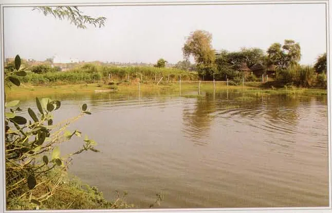
Gaurī-kuṇḍa
Gaurī-kuṇḍa is a pond near Āniyora on the Govardhana circuit.
Source details
printed: “Gaurī-tīrtha”
No. 35 on the original chart (map page)
Between 28 and 29 (in the order of the chart key): 36 Aniyora · 37 Gopāla Rāya Mandira · 38 Śiva Mandira (Govardhana chart key 38) · 39 Balarāma Mandira (Aniyora) · 40 Saṅkarṣaṇa-kuṇḍa (Aniyora) · 41 Gopāla Prakata Sthali
- 29
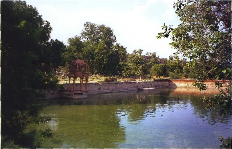
Govinda-kuṇḍa
On the walking guideGovinda-kuṇḍa is the lake near Āniyora at Govardhana that the sources connect with the bath in which Surabhi and Indra crowned Kṛṣṇa as Govinda after He lifted the hill.
Source details
printed: “Govinda-kuṇḍa”
No. 42 on the original chart (map page)
- 30
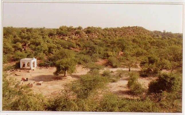
Pūñcharī
On the walking guidePūñcharī is the village and area at the southern end, the 'tail' (pūñcha), of Govardhana Hill.
Source details
printed: “Pūñcharī”
- 31
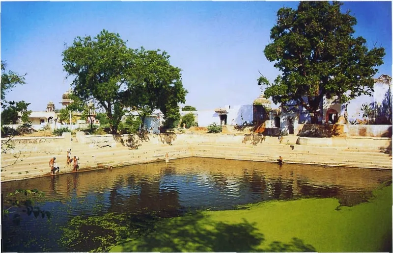
Apsarā-kuṇḍa
Apsarā-kuṇḍa is a pond at the southern end of Govardhana, at Pūñcharī.
Source details
printed: “Apsarā-kuṇḍa and Navala-kuṇḍa”
No. 49 on the original chart (map page)
Between 31 and 32 (in the order of the chart key): 50 Punchari-ka-loṭhā Bābā Mandira · 51 Śyāma-ḍhāka
- 32
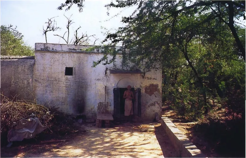
Rāghava Paṇḍita's cave
A cave near Apsarā-kuṇḍa at the southern end of Govardhana, now enclosed in a kuṭira and also called Maṇi-kaṇḍalī Cave.
Source details
printed: “Rāghava Paṇḍita’s cave”
No. 52 on the original chart (map page)
- 33
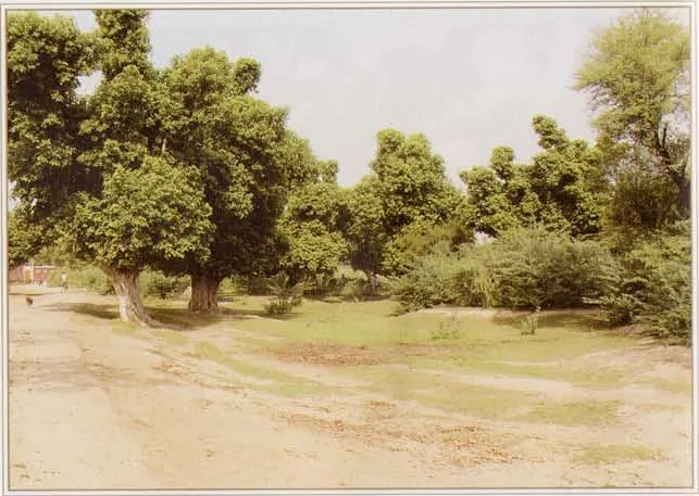
Śyāma-ḍhāka
On the walking guideŚyāma-ḍhāka is a grove of palāśa trees on the Govardhana circuit about a mile west of Pūñcharī, near Rāghava Paṇḍita's cave, which the guidebooks connect with Kṛṣṇa and His friends drinking buttermilk or yogurt from leaf cups, and which Śrī Vraja-maṇḍala Parikramā (2007) also calls a place of rāsa.
Source details
printed: “Śyāma-ḍhāka”
No. 51 on the original chart (map page)
Between 33 and 34 (in the order of the chart key): 52 Rāghava Paṇḍita's cave · 53 Nāthajī Mandira (Govardhana chart key 53) · 54 Airāvata's Foot-print · 55 Indra Pūjā · 56 Indra-kuṇḍa (Kadamba Vana)
- 34
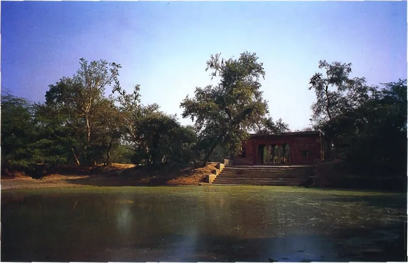
Surabhi-kuṇḍa
On the walking guideA pond in Kadamba-vana on the western side of Govardhana, named after Surabhi, the mother of the cows; one guidebook says Surabhi asked Kṛṣṇa here to forgive Indra, another that she lived here after bathing Kṛṣṇa with her milk at Govinda-kuṇḍa and that Vajranābha made the kuṇḍa.
Source details
printed: “Surabhi-kuṇḍa”
No. 57 on the original chart (map page)
Between 34 and 35 (in the order of the chart key): 58 Rudra-kuṇḍa
- 35
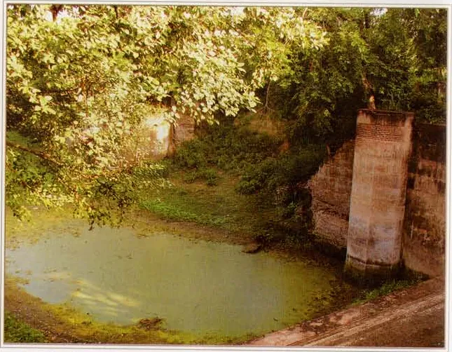
Airāvata-kuṇḍa
A pond in Kadamba-vana on the western side of Govardhana, named after Airāvata, Indra's elephant.
Source details
printed: “Airāvata-kuṇḍa”
No. 59 on the original chart (map page)
- 36
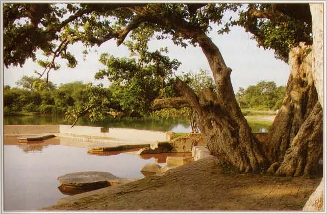
Rudra-kuṇḍa
Rudra-kuṇḍa is a pond near Airāvata-kuṇḍa at Govardhana.
Source details
printed: “Rudra-kuṇḍa”
No. 58 on the original chart (map page)
Between 36 and 37 (in the order of the chart key): 59 Airāvata-kuṇḍa · 60 Samādhis (Govardhana chart key 60) · 61 Mukhāravinda-śilā (Jatīpurā) · 62 Daṇḍavata-śilā
- 37
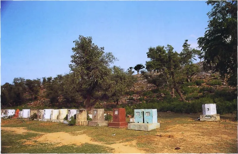
Jatīpurā
On the walking guideJatīpurā (Śrī Vraja-maṇḍala Parikramā (2007) also calls it Gopālapurā) is the village on the west side of Govardhana Hill, below the hilltop temple where, according to the guidebooks, Mādhavendra Purī served the Gopāla Deity (now Śrī Nāthajī of Nāthadvāra).
Source details
printed: “Jatīpurā”
No. 63 on the original chart (map page)
- 38
Annakūṭa-sthalī
The place adjacent to Govardhana in Jatīpurā where, according to Śrī Vraja-maṇḍala Parikramā (2007), Mādhavendra Purī held the grand Annakūṭa for one month and where pilgrims bathe Girirāja with milk.
Source details
printed: “Annakūṭa-sthalī”
- 39
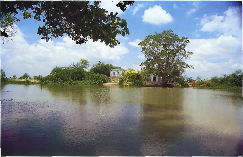
Vilachu-kuṇḍa
Vilachu-kuṇḍa (Bilachū-kuṇḍa, which Śrī Vraja-maṇḍala Parikramā (2007) says is also called Vilāsa-vadana) is a pond on the western side of the Govardhana circuit, before Dāna-ghāṭī.
Source details
printed: “Bilachū-kuṇḍa”
No. 66 on the original chart (map page)
- 40
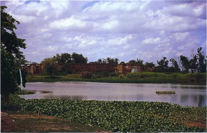
Sakhī-sthalī
Sakhī-sthalī, now the village Sakhītharā near Govardhana, is known in Gauḍīya literature as the home of Candrāvalī and her friends.
Source details
printed: “Sakhī-sthalī (Kadamba-khaṇḍī)”
No. 67 on the original chart (map page)
- 41
Sauṅkarāī
Sauṅkarāī, now called Śakravā according to Śrī Vraja-maṇḍala Parikramā (2007), is a village west of Govardhana where, according to the Bhakti-ratnākara, the sakhīs made Kṛṣṇa swear that He knows no one but Śrī Rādhikā.
Source details
printed: “Sauṅkarāī”
- 42
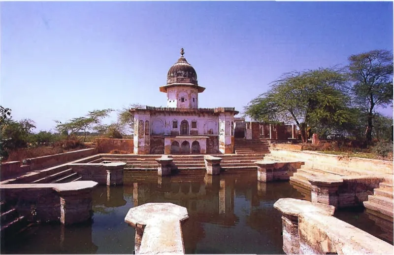
Uddhava-kuṇḍa
On the walking guideUddhava-kuṇḍa is a pond beside the Govardhana parikramā path, west of Kusuma-sarovara, dedicated to Uddhava, Kṛṣṇa's friend who prayed to become a plant in Vṛndāvana so that the gopīs' foot-dust would touch him.
Source details
printed: “Uddhava-kuṇḍa”
No. 68 on the original chart (map page)
- 43
Back to Rādhā-kuṇḍa, where the parikramā began (stop 1).
References
- Śrī Vraja-maṇḍala Parikramā (2007), numbered list (1)–(40) and Govardhana map, pp. 194–195